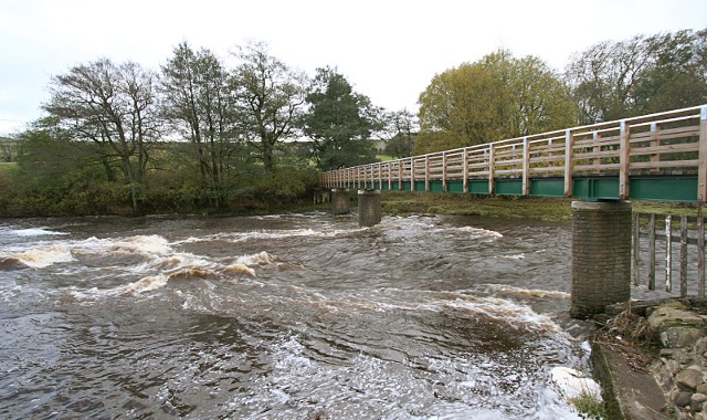
Brotherlee footbridge
Introduction
The photograph on this page of Brotherlee footbridge by Andy Waddington as part of the Geograph project.
The Geograph project started in 2005 with the aim of publishing, organising and preserving representative images for every square kilometre of Great Britain, Ireland and the Isle of Man.
There are currently over 7.5m images from over 14,400 individuals and you can help contribute to the project by visiting https://www.geograph.org.uk

Image: © Andy Waddington Taken: 8 Nov 2009
This is an extremely well-built bridge for a mere footpath, with a very long main span which makes it quite wobbly if you have a wide gait (or just like making bridges sway...). At low levels, the river occupies only a part of the north side of this span, but at a level when you might think of canoeing on the Upper Wear, the water flows under the full width of the bridge. The flow slides down over rock slabs leading to a wave, which shouldn't give the paddler much trouble, and is probably playable at this sort of level, though may not be very retentive. There's excellent service from big eddies on both sides.

