Building the A379 link road
Introduction
The photograph on this page of Building the A379 link road by Derek Harper as part of the Geograph project.
The Geograph project started in 2005 with the aim of publishing, organising and preserving representative images for every square kilometre of Great Britain, Ireland and the Isle of Man.

There are currently over 7.5m images from over 14,400 individuals and you can help contribute to the project by visiting https://www.geograph.org.uk
Building the A379 link road
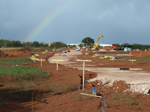
Image: © Derek Harper Taken: 4 Nov 2009
A rainbow casts symbolic significance over the construction of a new link road, an essential component of the development of the Newcourt site shown in Image and Image, seen from Old Rydon Lane. As a report at http://www.exeter.gov.uk/CHttpHandler.ashx?id=630&p=0 says, "the use of Old Rydon Lane itself which is a relatively narrow thoroughfare would result in harm to local residential and visual amenity and exacerbate local traffic congestion difficulties".
Images are licensed for reuse under creativecommons.org/licenses/by-sa/2.0
Image Location
Latitude
50.704753
Longitude
-3.478397