Old Rydon Lane
Introduction
The photograph on this page of Old Rydon Lane by Derek Harper as part of the Geograph project.
The Geograph project started in 2005 with the aim of publishing, organising and preserving representative images for every square kilometre of Great Britain, Ireland and the Isle of Man.

There are currently over 7.5m images from over 14,400 individuals and you can help contribute to the project by visiting https://www.geograph.org.uk
Old Rydon Lane
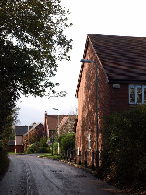
Image: © Derek Harper Taken: 4 Nov 2009
Housing on the lane which runs parallel to the A379 and links Clyst Road with Countess Wear, with scattered development that is now increasing rapidly. These houses are on a small cul-de-sac of 16 properties, Old Rydon Ley.
Images are licensed for reuse under creativecommons.org/licenses/by-sa/2.0
Image Location
Latitude
50.705071
Longitude
-3.474584