Field near Sandy Park Farm
Introduction
The photograph on this page of Field near Sandy Park Farm by Derek Harper as part of the Geograph project.
The Geograph project started in 2005 with the aim of publishing, organising and preserving representative images for every square kilometre of Great Britain, Ireland and the Isle of Man.

There are currently over 7.5m images from over 14,400 individuals and you can help contribute to the project by visiting https://www.geograph.org.uk
Field near Sandy Park Farm
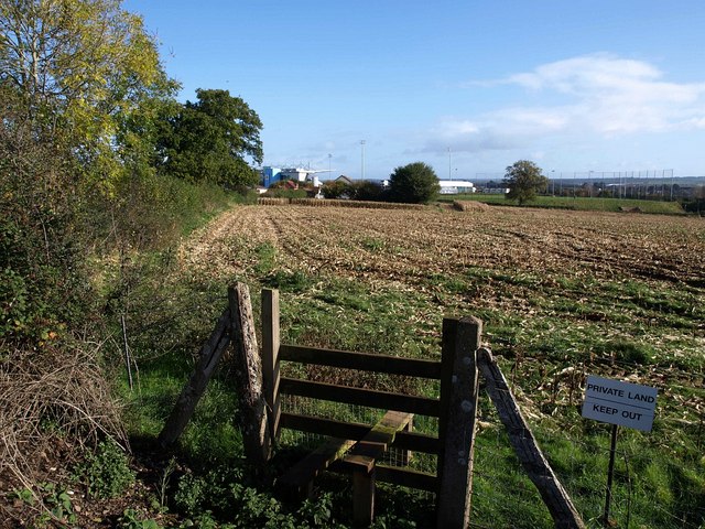
Image: © Derek Harper Taken: 4 Nov 2009
The situation described in Image A stile lies on either side of the Avocet railway line beside Old Rydon Close, but there's no right of way continuing across this field towards the farm and the new Exeter Chiefs Stadium beyond, shown in Image
Images are licensed for reuse under creativecommons.org/licenses/by-sa/2.0
Image Location
Latitude
50.7078
Longitude
-3.47212