Russell Way, Exeter
Introduction
The photograph on this page of Russell Way, Exeter by Derek Harper as part of the Geograph project.
The Geograph project started in 2005 with the aim of publishing, organising and preserving representative images for every square kilometre of Great Britain, Ireland and the Isle of Man.

There are currently over 7.5m images from over 14,400 individuals and you can help contribute to the project by visiting https://www.geograph.org.uk
Russell Way, Exeter
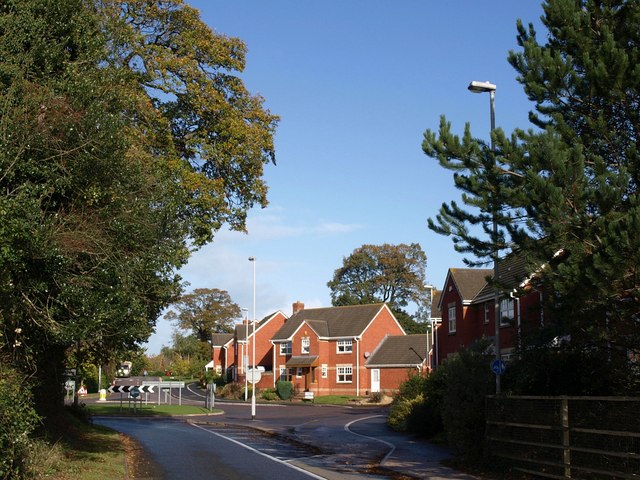
Image: © Derek Harper Taken: 4 Nov 2009
Taken from the north end of the bridge across the A3015 from which Image was taken. At the roundabout, Russell Way turns left, Clyst Halt Avenue continues straight ahead, and the new housing is on a cul-de-sac, Apple Farm Grange. The second road name commemorates a former railway station, Clyst St Mary and Digby Halt, which existed from 1908 to 1948 on the nearby Exmouth railway line.
Images are licensed for reuse under creativecommons.org/licenses/by-sa/2.0
Image Location
Latitude
50.710652
Longitude
-3.474192