Playhill Ruins
Introduction
The photograph on this page of Playhill Ruins by Robert Murray as part of the Geograph project.
The Geograph project started in 2005 with the aim of publishing, organising and preserving representative images for every square kilometre of Great Britain, Ireland and the Isle of Man.

There are currently over 7.5m images from over 14,400 individuals and you can help contribute to the project by visiting https://www.geograph.org.uk
Playhill Ruins
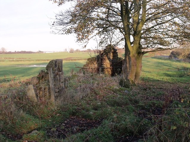
Image: © Robert Murray Taken: 8 Nov 2009
This ruin was once a cottage - or row of - called Playhill. The name is still to be found on the O.S. maps. Across the road is Sauchenhall Riding School.
Images are licensed for reuse under creativecommons.org/licenses/by-sa/2.0
Image Location
Latitude
55.928867
Longitude
-4.080672