Ditchling Village Hall
Introduction
The photograph on this page of Ditchling Village Hall by Simon Carey as part of the Geograph project.
The Geograph project started in 2005 with the aim of publishing, organising and preserving representative images for every square kilometre of Great Britain, Ireland and the Isle of Man.

There are currently over 7.5m images from over 14,400 individuals and you can help contribute to the project by visiting https://www.geograph.org.uk
Ditchling Village Hall
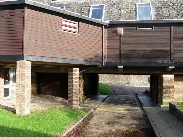
Image: © Simon Carey Taken: 4 Nov 2009
Side view of Image showing how the hall is built on an incline. There is a small one way system around each side allowing access to the village car park whilst this small service road also allows access to the public toilets which are on the right.
Images are licensed for reuse under creativecommons.org/licenses/by-sa/2.0
Image Location
Latitude
50.920299
Longitude
-0.114026