Old Yard Field
Introduction
The photograph on this page of Old Yard Field by Simon Carey as part of the Geograph project.
The Geograph project started in 2005 with the aim of publishing, organising and preserving representative images for every square kilometre of Great Britain, Ireland and the Isle of Man.

There are currently over 7.5m images from over 14,400 individuals and you can help contribute to the project by visiting https://www.geograph.org.uk
Old Yard Field
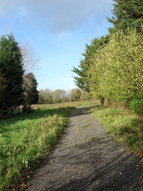
Image: © Simon Carey Taken: 4 Nov 2009
The name of the field according to the 1843 tithe map. Seems to be used as a paddock these days.
Images are licensed for reuse under creativecommons.org/licenses/by-sa/2.0
Image Location
Latitude
50.918144
Longitude
-0.103158