Kirkintilloch, meeting of the waters
Introduction
The photograph on this page of Kirkintilloch, meeting of the waters by Robert Murray as part of the Geograph project.
The Geograph project started in 2005 with the aim of publishing, organising and preserving representative images for every square kilometre of Great Britain, Ireland and the Isle of Man.

There are currently over 7.5m images from over 14,400 individuals and you can help contribute to the project by visiting https://www.geograph.org.uk
Kirkintilloch, meeting of the waters
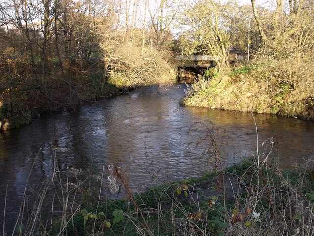
Image: © Robert Murray Taken: 8 Nov 2009
The confluence of the Luggie Water and the Bothlin Burn at Oxgang. In the spate conditions seen here each stream can easily be classified as rivers.
Images are licensed for reuse under creativecommons.org/licenses/by-sa/2.0
Image Location
Latitude
55.934377
Longitude
-4.13156