Verwood: bridleway signpost in Coopers Lane
Introduction
The photograph on this page of Verwood: bridleway signpost in Coopers Lane by Chris Downer as part of the Geograph project.
The Geograph project started in 2005 with the aim of publishing, organising and preserving representative images for every square kilometre of Great Britain, Ireland and the Isle of Man.

There are currently over 7.5m images from over 14,400 individuals and you can help contribute to the project by visiting https://www.geograph.org.uk
Verwood: bridleway signpost in Coopers Lane
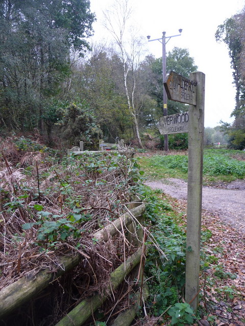
Image: © Chris Downer Taken: 8 Nov 2009
This signpost gives distances of 2¼ miles to Alderholt and ½ mile to Verwood – we are on the outskirts of the latter.
Images are licensed for reuse under creativecommons.org/licenses/by-sa/2.0
Image Location
Latitude
50.88654
Longitude
-1.874136