Poole, Henning's Farm
Introduction
The photograph on this page of Poole, Henning's Farm by Mike Faherty as part of the Geograph project.
The Geograph project started in 2005 with the aim of publishing, organising and preserving representative images for every square kilometre of Great Britain, Ireland and the Isle of Man.

There are currently over 7.5m images from over 14,400 individuals and you can help contribute to the project by visiting https://www.geograph.org.uk
Poole, Henning's Farm
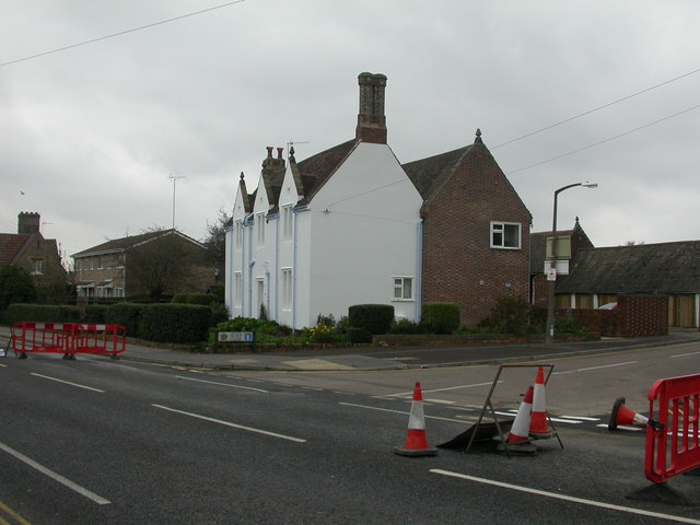
Image: © Mike Faherty Taken: 8 Nov 2009
On Fernside Road; a house with outbuildings to the rear, obviously out of character with its mainly post-war surroundings. Looking at old OS maps, this was Henning's Farm.
Images are licensed for reuse under creativecommons.org/licenses/by-sa/2.0
Image Location
Latitude
50.729326
Longitude
-1.975153