Malpas Brook, Bettws
Introduction
The photograph on this page of Malpas Brook, Bettws by Jaggery as part of the Geograph project.
The Geograph project started in 2005 with the aim of publishing, organising and preserving representative images for every square kilometre of Great Britain, Ireland and the Isle of Man.

There are currently over 7.5m images from over 14,400 individuals and you can help contribute to the project by visiting https://www.geograph.org.uk
Malpas Brook, Bettws
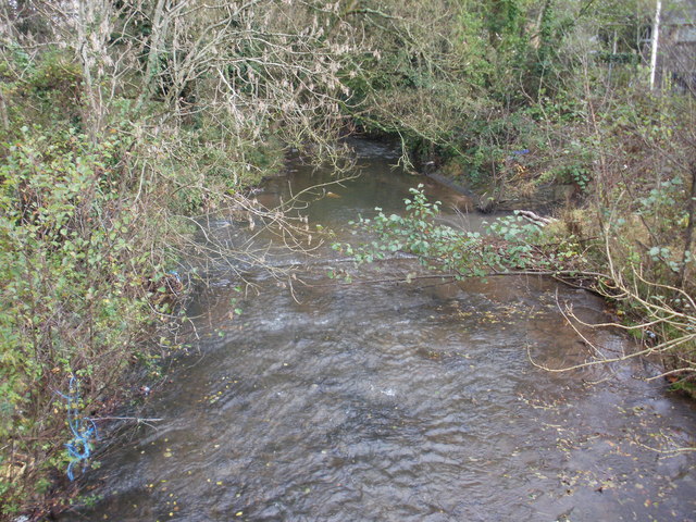
Image: © Jaggery Taken: 7 Nov 2009
Malpas Brook flowing away from the Monnow Way bridge. From here, the Brook takes a meandering course towards Crindau Pill and the River Usk.
Images are licensed for reuse under creativecommons.org/licenses/by-sa/2.0
Image Location
Latitude
51.608901
Longitude
-3.01947