Bettws Lane, Newport
Introduction
The photograph on this page of Bettws Lane, Newport by Jaggery as part of the Geograph project.
The Geograph project started in 2005 with the aim of publishing, organising and preserving representative images for every square kilometre of Great Britain, Ireland and the Isle of Man.

There are currently over 7.5m images from over 14,400 individuals and you can help contribute to the project by visiting https://www.geograph.org.uk
Bettws Lane, Newport
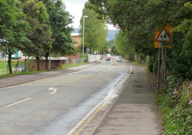
Image: © Jaggery Taken: 24 Aug 2009
Looking along Bettws Lane towards Monnow Way. Apart from a few narrow country roads, Bettws Lane is the only access road to and from Bettws, one of the largest modern housing estates in Europe - its population at the 2001 census was 8,200. It is therefore no surprise that Bettws Lane gets very congested at peak travel times. Elsewhere in Newport, Forge Lane was renamed Forge Road some time ago. Perhaps it's time that Bettws Lane became Bettws Road, or perhaps Bettws Avenue (there are many trees along its length)
Images are licensed for reuse under creativecommons.org/licenses/by-sa/2.0
Image Location
Latitude
51.60714
Longitude
-3.015099