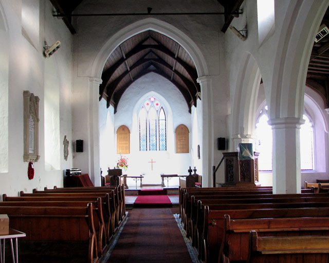
St Mary's church - view east
Introduction
The photograph on this page of St Mary's church - view east by Evelyn Simak as part of the Geograph project.
The Geograph project started in 2005 with the aim of publishing, organising and preserving representative images for every square kilometre of Great Britain, Ireland and the Isle of Man.
There are currently over 7.5m images from over 14,400 individuals and you can help contribute to the project by visiting https://www.geograph.org.uk

Image: © Evelyn Simak Taken: 7 Nov 2009
St Mary's church > http://www.geograph.org.uk/photo/1572206 as we see it today dates from the 14th century, with extensive renovation work having been undertaken in the 19th century. Besides the fragments of medieval glass which have been set so as to form two roundels > http://www.geograph.org.uk/photo/1572246 in the south aisle east window not much has survived. The baptismal font > http://www.geograph.org.uk/photo/1572253 appears to be Norman but it could be a Victorian addition intended to look Norman. A modern (dated 1957) window > http://www.geograph.org.uk/photo/1572231 in the north chancel wall commemorates the brothers Alfred and Frederick Cole. St Mary's church is open every day.

