Two paths at Whitehead
Introduction
The photograph on this page of Two paths at Whitehead by Albert Bridge as part of the Geograph project.
The Geograph project started in 2005 with the aim of publishing, organising and preserving representative images for every square kilometre of Great Britain, Ireland and the Isle of Man.

There are currently over 7.5m images from over 14,400 individuals and you can help contribute to the project by visiting https://www.geograph.org.uk
Two paths at Whitehead
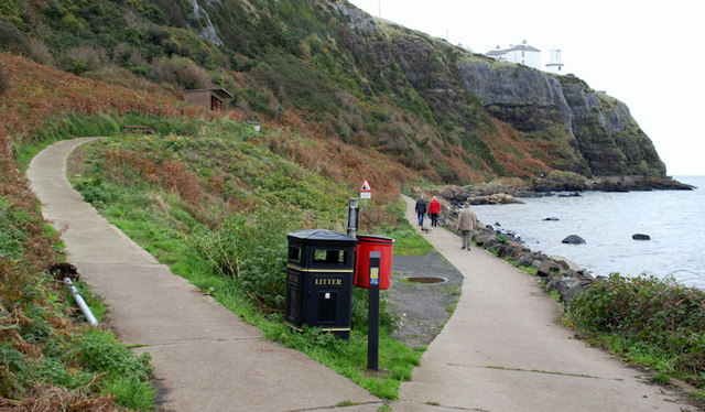
Image: © Albert Bridge Taken: 7 Nov 2009
See Image In reality, it’s really the same path leading along the shore, uphill to the lighthouse, then inland and back down to the shore.
Images are licensed for reuse under creativecommons.org/licenses/by-sa/2.0
Image Location
Latitude
54.764659
Longitude
-5.693271