Sebastapol Lane, Sandhills
Introduction
The photograph on this page of Sebastapol Lane, Sandhills by Colin Smith as part of the Geograph project.
The Geograph project started in 2005 with the aim of publishing, organising and preserving representative images for every square kilometre of Great Britain, Ireland and the Isle of Man.

There are currently over 7.5m images from over 14,400 individuals and you can help contribute to the project by visiting https://www.geograph.org.uk
Sebastapol Lane, Sandhills
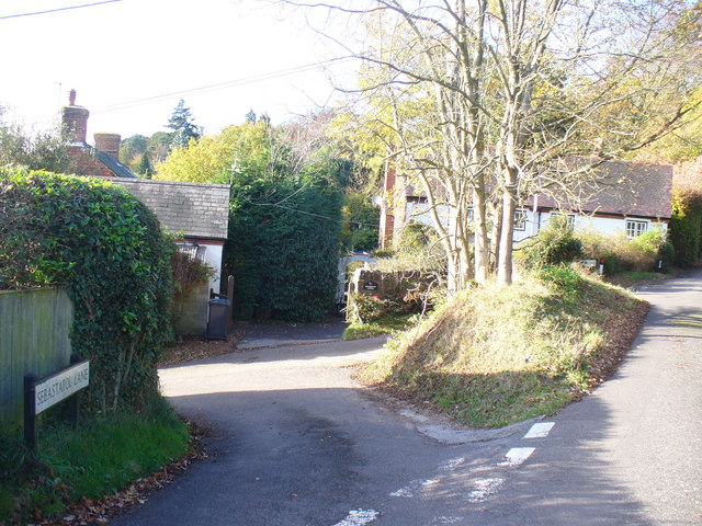
Image: © Colin Smith Taken: 7 Nov 2009
Quiet intersection of lanes in the Greensand Ridge hamlet of Sandhills. The lane to the left probably took its name from the Crimean War battle - but with a spelling variant.
Images are licensed for reuse under creativecommons.org/licenses/by-sa/2.0
Image Location
Latitude
51.134562
Longitude
-0.658177