The coast near Whitehead (1)
Introduction
The photograph on this page of The coast near Whitehead (1) by Albert Bridge as part of the Geograph project.
The Geograph project started in 2005 with the aim of publishing, organising and preserving representative images for every square kilometre of Great Britain, Ireland and the Isle of Man.

There are currently over 7.5m images from over 14,400 individuals and you can help contribute to the project by visiting https://www.geograph.org.uk
The coast near Whitehead (1)
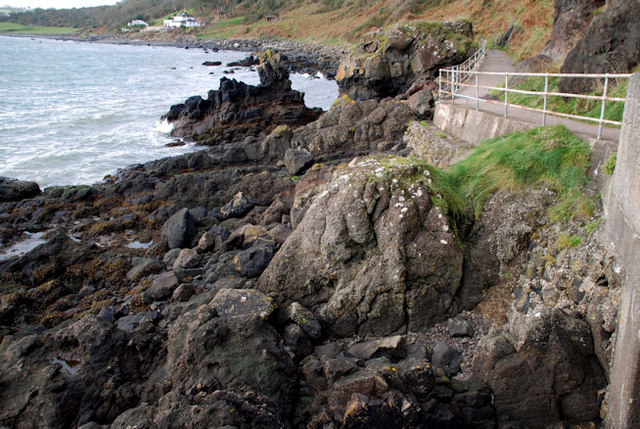
Image: © Albert Bridge Taken: 7 Nov 2009
Today’s photographs cover a similar route to that in the series Image but with some differences and with some taken on the way back (rain stopped play the last time). Looking back towards Whitehead close to where the path is carried (on concrete) out from the cliffs. “Sunshine House” Image can be seen towards the top left. Continue to Image
Images are licensed for reuse under creativecommons.org/licenses/by-sa/2.0
Image Location
Latitude
54.760089
Longitude
-5.698658