In Kenton
Introduction
The photograph on this page of In Kenton by Derek Harper as part of the Geograph project.
The Geograph project started in 2005 with the aim of publishing, organising and preserving representative images for every square kilometre of Great Britain, Ireland and the Isle of Man.

There are currently over 7.5m images from over 14,400 individuals and you can help contribute to the project by visiting https://www.geograph.org.uk
In Kenton
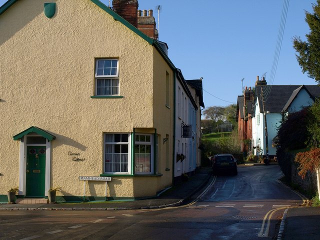
Image: © Derek Harper Taken: 4 Nov 2009
The junction of Mamhead Road with Church Street, which becomes the High Street as it turns the corner on the right. In doing so it encloses the churchyard, above on the right.
Images are licensed for reuse under creativecommons.org/licenses/by-sa/2.0
Image Location
Latitude
50.639863
Longitude
-3.475087