Congestion? What congestion?
Introduction
The photograph on this page of Congestion? What congestion? by Keith Edkins as part of the Geograph project.
The Geograph project started in 2005 with the aim of publishing, organising and preserving representative images for every square kilometre of Great Britain, Ireland and the Isle of Man.

There are currently over 7.5m images from over 14,400 individuals and you can help contribute to the project by visiting https://www.geograph.org.uk
Congestion? What congestion?
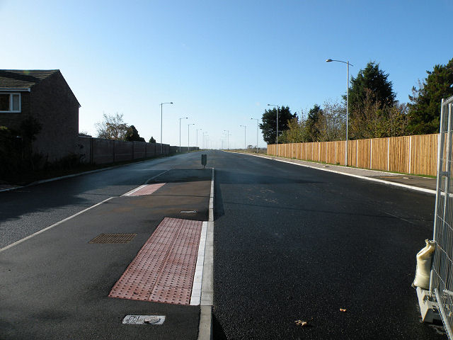
Image: © Keith Edkins Taken: 7 Nov 2009
The new Addenbrooke's access road, looking west from Shelford Road. There is no indication at present when it will open.
Images are licensed for reuse under creativecommons.org/licenses/by-sa/2.0
Image Location
Latitude
52.16705
Longitude
0.117224