Barn conversion, Kingstone Farmhouse
Introduction
The photograph on this page of Barn conversion, Kingstone Farmhouse by Derek Harper as part of the Geograph project.
The Geograph project started in 2005 with the aim of publishing, organising and preserving representative images for every square kilometre of Great Britain, Ireland and the Isle of Man.

There are currently over 7.5m images from over 14,400 individuals and you can help contribute to the project by visiting https://www.geograph.org.uk
Barn conversion, Kingstone Farmhouse
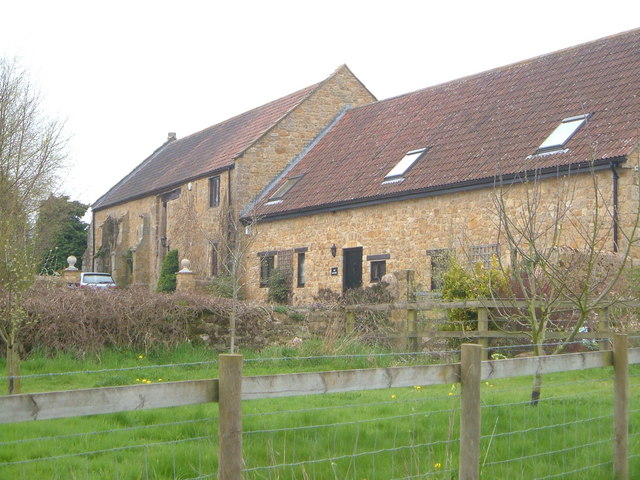
Image: © Derek Harper Taken: 22 Apr 2006
The pre-conversion photo, taken in 1986, at http://webapp1.somerset.gov.uk/her/details.asp?prn=56718 makes an interesting comparison. Listed and described at https://historicengland.org.uk/listing/the-list/list-entry/1056989 .
Images are licensed for reuse under creativecommons.org/licenses/by-sa/2.0
Image Location
Latitude
50.918482
Longitude
-2.887649