Grassland near Slittercombe Lane
Introduction
The photograph on this page of Grassland near Slittercombe Lane by Derek Harper as part of the Geograph project.
The Geograph project started in 2005 with the aim of publishing, organising and preserving representative images for every square kilometre of Great Britain, Ireland and the Isle of Man.

There are currently over 7.5m images from over 14,400 individuals and you can help contribute to the project by visiting https://www.geograph.org.uk
Grassland near Slittercombe Lane
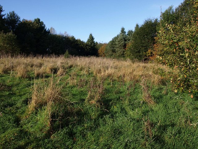
Image: © Derek Harper Taken: 4 Nov 2009
Taken from Kenton Footpath 10 as it runs along the perimeter fence of Powderham Deer Park (behind the camera). The triangular area of grassland is between a boot-shaped area of woodland which on its far side adjoins Slittercombe Lane (left) and Kenton Footpath 1 (right). This is on the southern slopes of the Kenn valley.
Images are licensed for reuse under creativecommons.org/licenses/by-sa/2.0
Image Location
Latitude
50.641283
Longitude
-3.469474