Sirhowy Enterprise Way, Blackwood
Introduction
The photograph on this page of Sirhowy Enterprise Way, Blackwood by Robin Drayton as part of the Geograph project.
The Geograph project started in 2005 with the aim of publishing, organising and preserving representative images for every square kilometre of Great Britain, Ireland and the Isle of Man.

There are currently over 7.5m images from over 14,400 individuals and you can help contribute to the project by visiting https://www.geograph.org.uk
Sirhowy Enterprise Way, Blackwood
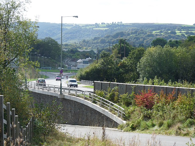
Image: © Robin Drayton Taken: 8 Oct 2009
Opened to traffic on 23 December 2005 and is also known as the Blackwood by-pass. It follows the approximate line of an old railway track at this point.
Images are licensed for reuse under creativecommons.org/licenses/by-sa/2.0
Image Location
Latitude
51.663381
Longitude
-3.183351