Cleevelands Drive, Cheltenham
Introduction
The photograph on this page of Cleevelands Drive, Cheltenham by Brian Robert Marshall as part of the Geograph project.
The Geograph project started in 2005 with the aim of publishing, organising and preserving representative images for every square kilometre of Great Britain, Ireland and the Isle of Man.

There are currently over 7.5m images from over 14,400 individuals and you can help contribute to the project by visiting https://www.geograph.org.uk
Cleevelands Drive, Cheltenham
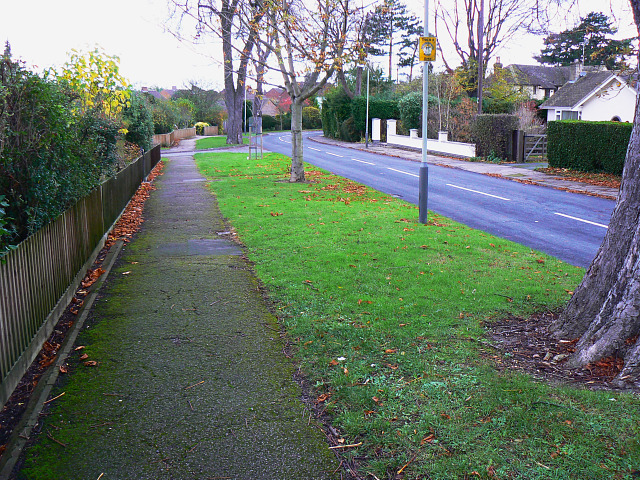
Image: © Brian Robert Marshall Taken: 5 Nov 2009
Cleevelands Drive is a pleasant suburban road developed possibly in the years shortly before or after the second world war. The road connecting with the drive at the left is Huntsfield Close, a short cul-de-sac.
Images are licensed for reuse under creativecommons.org/licenses/by-sa/2.0
Image Location
Latitude
51.913249
Longitude
-2.07119