Malthouse Laine
Introduction
The photograph on this page of Malthouse Laine by Simon Carey as part of the Geograph project.
The Geograph project started in 2005 with the aim of publishing, organising and preserving representative images for every square kilometre of Great Britain, Ireland and the Isle of Man.

There are currently over 7.5m images from over 14,400 individuals and you can help contribute to the project by visiting https://www.geograph.org.uk
Malthouse Laine
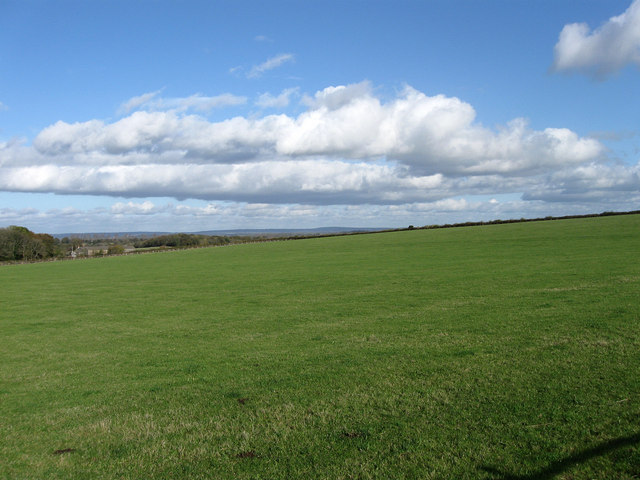
Image: © Simon Carey Taken: 4 Nov 2009
The name of the field according to the 1838 tithe map. Not a wonky horizon but an actual rise in the ground as it heads towards Streat Lane marked by the hedge on the right.
Images are licensed for reuse under creativecommons.org/licenses/by-sa/2.0
Image Location


Leaflet Map data © OpenStreetMap
Latitude
50.905031
Longitude
-0.082214