Park Field
Introduction
The photograph on this page of Park Field by Simon Carey as part of the Geograph project.
The Geograph project started in 2005 with the aim of publishing, organising and preserving representative images for every square kilometre of Great Britain, Ireland and the Isle of Man.

There are currently over 7.5m images from over 14,400 individuals and you can help contribute to the project by visiting https://www.geograph.org.uk
Park Field
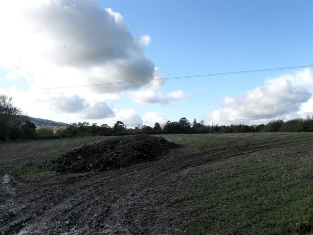
Image: © Simon Carey Taken: 4 Nov 2009
The name of the field according to the 1838 tithe map. The foreground including the heap of manure is in this square whilst the rest is in the adjoining one. Middleton Manor can just be made out over the manure in the distance.
Images are licensed for reuse under creativecommons.org/licenses/by-sa/2.0
Image Location


Leaflet Map data © OpenStreetMap
Latitude
50.910585
Longitude
-0.080848