Silver Mead (2)
Introduction
The photograph on this page of Silver Mead (2) by Simon Carey as part of the Geograph project.
The Geograph project started in 2005 with the aim of publishing, organising and preserving representative images for every square kilometre of Great Britain, Ireland and the Isle of Man.

There are currently over 7.5m images from over 14,400 individuals and you can help contribute to the project by visiting https://www.geograph.org.uk
Silver Mead (2)
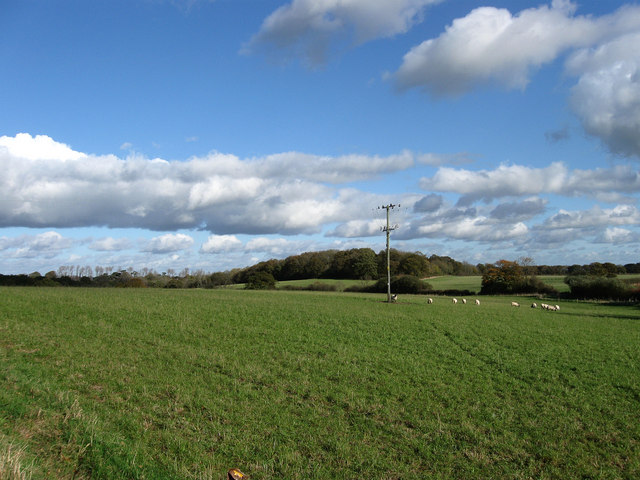
Image: © Simon Carey Taken: 4 Nov 2009
The name of the field according to the 1838 tithe map. This is the southern end as it gradually slopes down towards a small unnamed stream. Plumpton Wood is in the distance.
Images are licensed for reuse under creativecommons.org/licenses/by-sa/2.0
Image Location


Leaflet Map data © OpenStreetMap
Latitude
50.911538
Longitude
-0.078675