Pittville Circus Road, Cheltenham
Introduction
The photograph on this page of Pittville Circus Road, Cheltenham by Brian Robert Marshall as part of the Geograph project.
The Geograph project started in 2005 with the aim of publishing, organising and preserving representative images for every square kilometre of Great Britain, Ireland and the Isle of Man.

There are currently over 7.5m images from over 14,400 individuals and you can help contribute to the project by visiting https://www.geograph.org.uk
Pittville Circus Road, Cheltenham
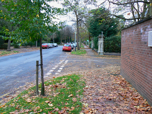
Image: © Brian Robert Marshall Taken: 5 Nov 2009
This is a view east along the road. At the right is the junction with St Anne's Close. The local authority haven't got round to clearing up the autumnal leaf fall yet.
Images are licensed for reuse under creativecommons.org/licenses/by-sa/2.0
Image Location
Latitude
51.903184
Longitude
-2.06347