Thatched farmhouse at Sea
Introduction
The photograph on this page of Thatched farmhouse at Sea by Derek Harper as part of the Geograph project.
The Geograph project started in 2005 with the aim of publishing, organising and preserving representative images for every square kilometre of Great Britain, Ireland and the Isle of Man.

There are currently over 7.5m images from over 14,400 individuals and you can help contribute to the project by visiting https://www.geograph.org.uk
Thatched farmhouse at Sea
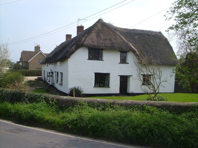
Image: © Derek Harper Taken: 22 Apr 2006
The grid line runs along the road at Sea, and this farmhouse is on the south side. Sea probably means island, and the presence of sandbags at some doorways indicates the likelihood of flooding here.
Images are licensed for reuse under creativecommons.org/licenses/by-sa/2.0
Image Location


Leaflet Map data © OpenStreetMap
Latitude
50.911856
Longitude
-2.930196