Lane to the coast - East Aberthaw
Introduction
The photograph on this page of Lane to the coast - East Aberthaw by Mick Lobb as part of the Geograph project.
The Geograph project started in 2005 with the aim of publishing, organising and preserving representative images for every square kilometre of Great Britain, Ireland and the Isle of Man.

There are currently over 7.5m images from over 14,400 individuals and you can help contribute to the project by visiting https://www.geograph.org.uk
Lane to the coast - East Aberthaw
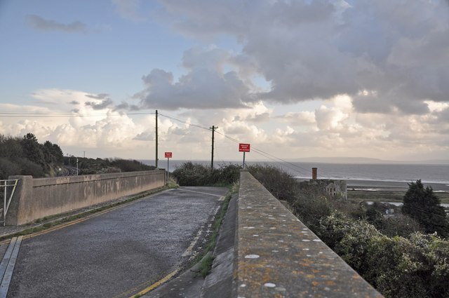
Image: © Mick Lobb Taken: 4 Nov 2009
A bridge crosses the adjacent railway line and the lane affords access to land occupied by Aberthaw Power Station and a footpath to the beach. Across the channel lies the coast of Somerset.
Images are licensed for reuse under creativecommons.org/licenses/by-sa/2.0
Image Location
Latitude
51.387624
Longitude
-3.384697