Farmland with footpath near Cadmore End
Introduction
The photograph on this page of Farmland with footpath near Cadmore End by Andrew Smith as part of the Geograph project.
The Geograph project started in 2005 with the aim of publishing, organising and preserving representative images for every square kilometre of Great Britain, Ireland and the Isle of Man.

There are currently over 7.5m images from over 14,400 individuals and you can help contribute to the project by visiting https://www.geograph.org.uk
Farmland with footpath near Cadmore End
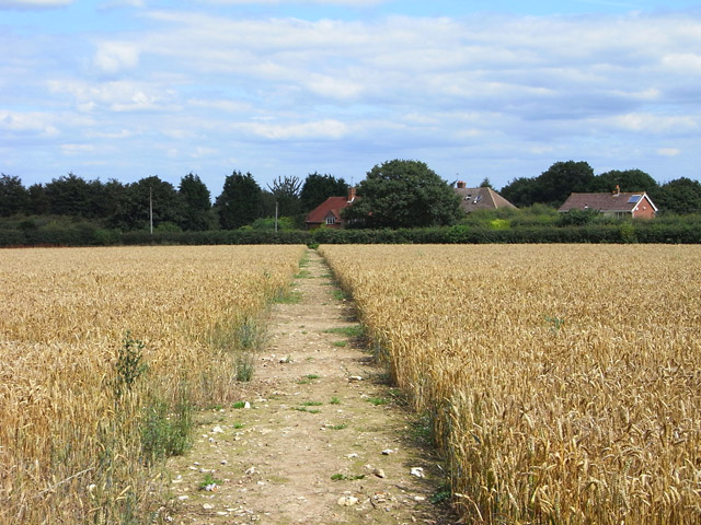
Image: © Andrew Smith Taken: 2 Aug 2009
The path is passing through the final field of wheat before reaching the road near Chequers Manor.
Images are licensed for reuse under creativecommons.org/licenses/by-sa/2.0
Image Location
Latitude
51.634364
Longitude
-0.883053