Burnby Lane, near Pocklington
Introduction
The photograph on this page of Burnby Lane, near Pocklington by Paul Harrop as part of the Geograph project.
The Geograph project started in 2005 with the aim of publishing, organising and preserving representative images for every square kilometre of Great Britain, Ireland and the Isle of Man.

There are currently over 7.5m images from over 14,400 individuals and you can help contribute to the project by visiting https://www.geograph.org.uk
Burnby Lane, near Pocklington
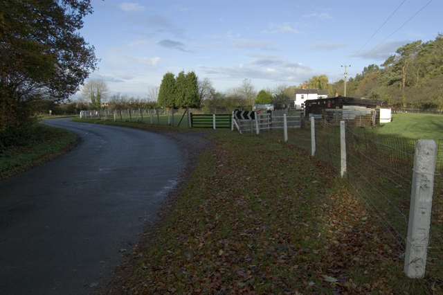
Image: © Paul Harrop Taken: 4 Nov 2009
The lane here deviates from its straight course from Burnby which runs parallel to both the A1079 and the former railway line from Market Weighton
Images are licensed for reuse under creativecommons.org/licenses/by-sa/2.0
Image Location
Latitude
53.923179
Longitude
-0.766154