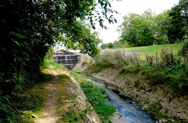
The Malago as it flows through Manor Woods Valley
Introduction
The photograph on this page of The Malago as it flows through Manor Woods Valley by Anthony O'Neil as part of the Geograph project.
The Geograph project started in 2005 with the aim of publishing, organising and preserving representative images for every square kilometre of Great Britain, Ireland and the Isle of Man.
There are currently over 7.5m images from over 14,400 individuals and you can help contribute to the project by visiting https://www.geograph.org.uk

Image: © Anthony O'Neil Taken: 20 Sep 2009
This valley, and the streams south west of Bristol city centre, form a valuable amenity for residents and a vital ecological resource. The metal grating (seen downstream in the photograph) is part of the culverting and flood defences installed after disastrous floods affected the area in the 1960s. From here, water from several local tributaries is channelled beneath the city roads and eventually discharges into the Avon New Cut at Bedminster and Southville.
Image Location


