Level Crossing on the Meigh-Jonesborough road
Introduction
The photograph on this page of Level Crossing on the Meigh-Jonesborough road by Eric Jones as part of the Geograph project.
The Geograph project started in 2005 with the aim of publishing, organising and preserving representative images for every square kilometre of Great Britain, Ireland and the Isle of Man.

There are currently over 7.5m images from over 14,400 individuals and you can help contribute to the project by visiting https://www.geograph.org.uk
Level Crossing on the Meigh-Jonesborough road
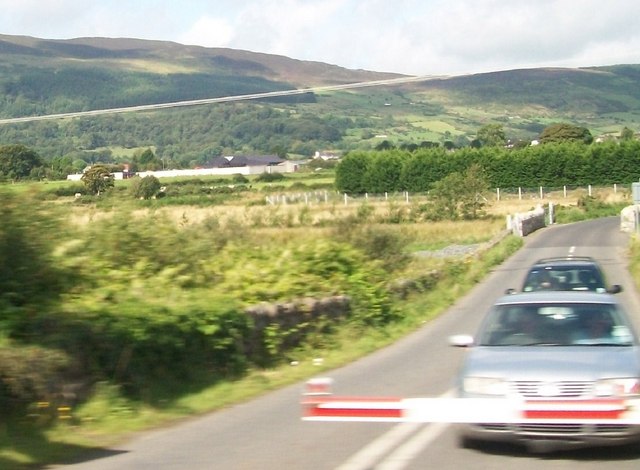
Image: © Eric Jones Taken: 22 Aug 2009
Part of the village of Meigh can be seen in the middle-ground, Slieve Gullion forms the background. The scenery here is typical of that of South Armagh. The image was taken from a south bound Enterprise express.
Images are licensed for reuse under creativecommons.org/licenses/by-sa/2.0
Image Location
Latitude
54.116784
Longitude
-6.381272