Pastureland below Slievebolea
Introduction
The photograph on this page of Pastureland below Slievebolea by Eric Jones as part of the Geograph project.
The Geograph project started in 2005 with the aim of publishing, organising and preserving representative images for every square kilometre of Great Britain, Ireland and the Isle of Man.

There are currently over 7.5m images from over 14,400 individuals and you can help contribute to the project by visiting https://www.geograph.org.uk
Pastureland below Slievebolea
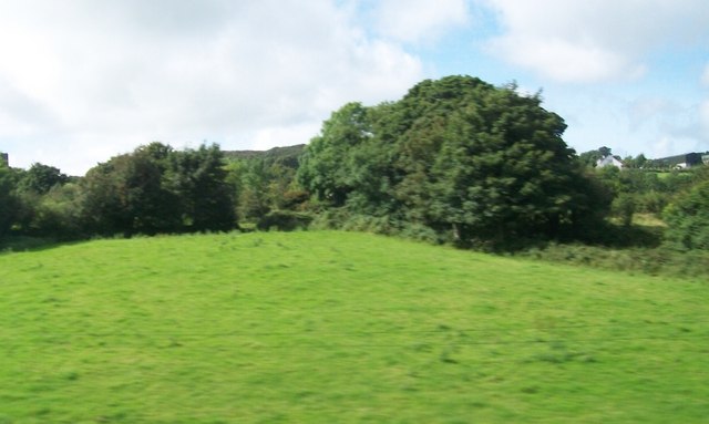
Image: © Eric Jones Taken: 22 Aug 2009
Moiry Castle can be seen on the extreme left of the image.
Images are licensed for reuse under creativecommons.org/licenses/by-sa/2.0
Image Location
Latitude
54.070988
Longitude
-6.38336