Bumble Hole Canal Arm
Introduction
The photograph on this page of Bumble Hole Canal Arm by Brian Clift as part of the Geograph project.
The Geograph project started in 2005 with the aim of publishing, organising and preserving representative images for every square kilometre of Great Britain, Ireland and the Isle of Man.

There are currently over 7.5m images from over 14,400 individuals and you can help contribute to the project by visiting https://www.geograph.org.uk
Bumble Hole Canal Arm
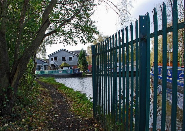
Image: © Brian Clift Taken: 2 Nov 2009
This loop of the Dudley No 2 Canal was cut off at this point after the Netherton Canal Tunnel was built.
Images are licensed for reuse under creativecommons.org/licenses/by-sa/2.0
Image Location


Leaflet Map data © OpenStreetMap
Latitude
52.492048
Longitude
-2.074186