Rownhams lane North baddesley
Introduction
The photograph on this page of Rownhams lane North baddesley by Nigel Mykura as part of the Geograph project.
The Geograph project started in 2005 with the aim of publishing, organising and preserving representative images for every square kilometre of Great Britain, Ireland and the Isle of Man.

There are currently over 7.5m images from over 14,400 individuals and you can help contribute to the project by visiting https://www.geograph.org.uk
Rownhams lane North baddesley
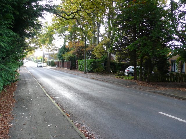
Image: © Nigel Mykura Taken: 26 Oct 2009
This is the view south along Rownhams lane from its junction with the A27 the Southampton to Romsey road, here called Botley Rd.
Images are licensed for reuse under creativecommons.org/licenses/by-sa/2.0
Image Location
Latitude
50.981904
Longitude
-1.452503