Scotty Croft Lane, Rastrick
Introduction
The photograph on this page of Scotty Croft Lane, Rastrick by Humphrey Bolton as part of the Geograph project.
The Geograph project started in 2005 with the aim of publishing, organising and preserving representative images for every square kilometre of Great Britain, Ireland and the Isle of Man.

There are currently over 7.5m images from over 14,400 individuals and you can help contribute to the project by visiting https://www.geograph.org.uk
Scotty Croft Lane, Rastrick
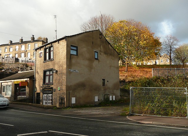
Image: © Humphrey Bolton Taken: 2 Nov 2009
Only a short length of this lane still exists, long enough to reach the house at the back of this building. Looking at the six-inch map of 1906, the lane seems to have gone from Bramston Street up to a junction with Thornhill Road, and have had terrace houses on each side.
Images are licensed for reuse under creativecommons.org/licenses/by-sa/2.0
Image Location
Latitude
53.697846
Longitude
-1.784893