Church Farm, Beer Hackett
Introduction
The photograph on this page of Church Farm, Beer Hackett by Maigheach-gheal as part of the Geograph project.
The Geograph project started in 2005 with the aim of publishing, organising and preserving representative images for every square kilometre of Great Britain, Ireland and the Isle of Man.

There are currently over 7.5m images from over 14,400 individuals and you can help contribute to the project by visiting https://www.geograph.org.uk
Church Farm, Beer Hackett
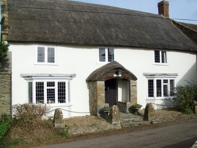
Image: © Maigheach-gheal Taken: 31 Oct 2009
Early 18th century Rubble Stone house with plastered front opposite the church.
Images are licensed for reuse under creativecommons.org/licenses/by-sa/2.0
Image Location
Latitude
50.904455
Longitude
-2.570805