Private road or not?
Introduction
The photograph on this page of Private road or not? by Stephen Craven as part of the Geograph project.
The Geograph project started in 2005 with the aim of publishing, organising and preserving representative images for every square kilometre of Great Britain, Ireland and the Isle of Man.

There are currently over 7.5m images from over 14,400 individuals and you can help contribute to the project by visiting https://www.geograph.org.uk
Private road or not?
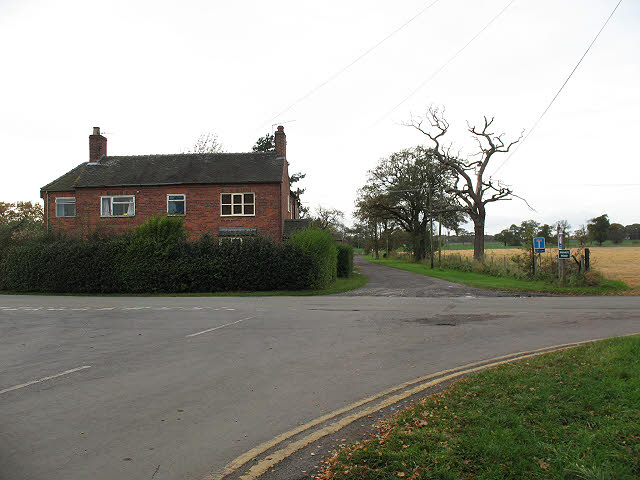
Image: © Stephen Craven Taken: 31 Oct 2009
The unnamed and unsurfaced lane in this picture runs through from Bagmere Lane (this end) to Brereton Green. There is a sign "Private Road" but the lane is shown on the 2006 edition O.S. map as a "road used as a public path" and as part of a National Cycle Route. So although closed to cars, the description of "private" is dubious.
Images are licensed for reuse under creativecommons.org/licenses/by-sa/2.0
Image Location
Latitude
53.181157
Longitude
-2.309696