Frosty view of Broad Water floodplain
Introduction
The photograph on this page of Frosty view of Broad Water floodplain by Oliver Hunter as part of the Geograph project.
The Geograph project started in 2005 with the aim of publishing, organising and preserving representative images for every square kilometre of Great Britain, Ireland and the Isle of Man.

There are currently over 7.5m images from over 14,400 individuals and you can help contribute to the project by visiting https://www.geograph.org.uk
Frosty view of Broad Water floodplain
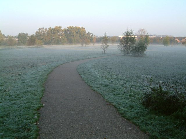
Image: © Oliver Hunter Taken: 23 Oct 2007
A frosty October morning in 2007, looking up the footpath to The Shires housing estate from the bridge over Broad Water on Northampton Road.
Images are licensed for reuse under creativecommons.org/licenses/by-sa/2.0
Image Location
Latitude
52.136771
Longitude
-0.989906