Disused malthouse, Guarlford
Introduction
The photograph on this page of Disused malthouse, Guarlford by Pauline E as part of the Geograph project.
The Geograph project started in 2005 with the aim of publishing, organising and preserving representative images for every square kilometre of Great Britain, Ireland and the Isle of Man.

There are currently over 7.5m images from over 14,400 individuals and you can help contribute to the project by visiting https://www.geograph.org.uk
Disused malthouse, Guarlford
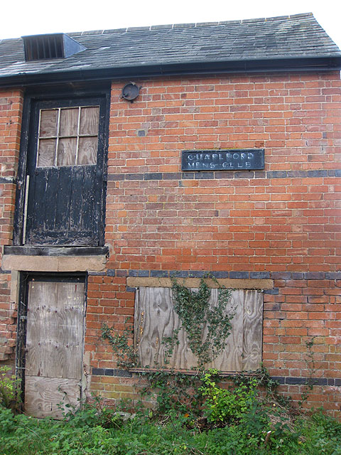
Image: © Pauline E Taken: 2 Nov 2009
Built in 1870 and last used for malt production in 1911. See also Image The building still bears the sign for the Guarlford Men's Club.
Images are licensed for reuse under creativecommons.org/licenses/by-sa/2.0
Image Location
Latitude
52.105785
Longitude
-2.27354