Muddy Section of Roper's Green Lane
Introduction
The photograph on this page of Muddy Section of Roper's Green Lane by David Anstiss as part of the Geograph project.
The Geograph project started in 2005 with the aim of publishing, organising and preserving representative images for every square kilometre of Great Britain, Ireland and the Isle of Man.

There are currently over 7.5m images from over 14,400 individuals and you can help contribute to the project by visiting https://www.geograph.org.uk
Muddy Section of Roper's Green Lane
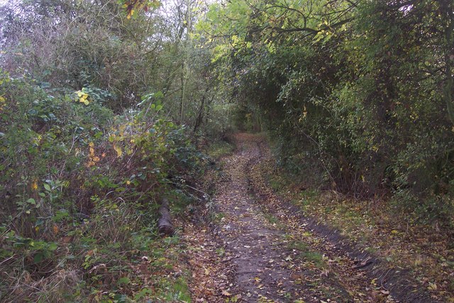
Image: © David Anstiss Taken: 1 Nov 2009
This byway leads from Roper's Lane, past Roper's Farm, now it gets closer to Parbrook Road, near Fenn Street. The byway is near many horse paddocks hence muddy section. The byway is also used by the Saxon Shore Way (long distance Path) heading from Hoo to High Halstow.
Images are licensed for reuse under creativecommons.org/licenses/by-sa/2.0
Image Location


Leaflet Map data © OpenStreetMap
Latitude
51.44334
Longitude
0.583522