Cycle path crosses theA228 Ratcliffe Highway
Introduction
The photograph on this page of Cycle path crosses theA228 Ratcliffe Highway by David Anstiss as part of the Geograph project.
The Geograph project started in 2005 with the aim of publishing, organising and preserving representative images for every square kilometre of Great Britain, Ireland and the Isle of Man.

There are currently over 7.5m images from over 14,400 individuals and you can help contribute to the project by visiting https://www.geograph.org.uk
Cycle path crosses theA228 Ratcliffe Highway
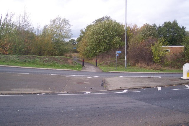
Image: © David Anstiss Taken: 1 Nov 2009
A cycle path from Sharnal Street crosses the Highway (leading right to Stoke and Grain) to a disused road, then leading right to Grain or left to High Halstow.
Images are licensed for reuse under creativecommons.org/licenses/by-sa/2.0
Image Location
Latitude
51.443958
Longitude
0.579959