Napton Hill - Memorial beside the drive to the windmill
Introduction
The photograph on this page of Napton Hill - Memorial beside the drive to the windmill by David Stowell as part of the Geograph project.
The Geograph project started in 2005 with the aim of publishing, organising and preserving representative images for every square kilometre of Great Britain, Ireland and the Isle of Man.

There are currently over 7.5m images from over 14,400 individuals and you can help contribute to the project by visiting https://www.geograph.org.uk
Napton Hill - Memorial beside the drive to the windmill
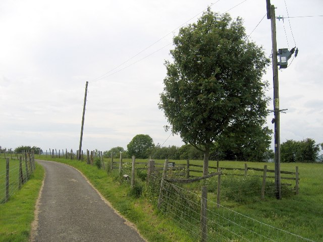
Image: © David Stowell Taken: 5 Jun 2005
The small sign, just visible by the fence, reads:- "This seat and tree is close to the site of the observer post that witnessed the many nights of the Coventry Blitz. As a mark of remembrance the Rowan tree was planted on the 50th anniversary of the Blitz. Whilst sitting on this seat made from Shuckburgh grown timber please take time to reflect on the freedom we have today. The support of this country in its desperate hours by such people as the Royal Observer Corps of the Home Guard, the Women's Land Army and all those in Agriculture and Horticulture who protected and fed this nation is not always so easily remembered".
Images are licensed for reuse under creativecommons.org/licenses/by-sa/2.0
Image Location


Leaflet Map data © OpenStreetMap
Latitude
52.247973
Longitude
-1.329111