Former Doods Brow School
Introduction
The photograph on this page of Former Doods Brow School by Ian Capper as part of the Geograph project.
The Geograph project started in 2005 with the aim of publishing, organising and preserving representative images for every square kilometre of Great Britain, Ireland and the Isle of Man.

There are currently over 7.5m images from over 14,400 individuals and you can help contribute to the project by visiting https://www.geograph.org.uk
Former Doods Brow School
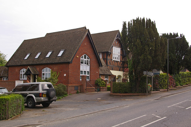
Image: © Ian Capper Taken: 9 May 2009
Former village school, which subsequently became a prep school before closing around 2000. Now converted to housing. The building is locally listed.
Images are licensed for reuse under creativecommons.org/licenses/by-sa/2.0
Image Location
Latitude
51.238768
Longitude
-0.13166