Arable farmland at Rulesmains, Duns
Introduction
The photograph on this page of Arable farmland at Rulesmains, Duns by Walter Baxter as part of the Geograph project.
The Geograph project started in 2005 with the aim of publishing, organising and preserving representative images for every square kilometre of Great Britain, Ireland and the Isle of Man.

There are currently over 7.5m images from over 14,400 individuals and you can help contribute to the project by visiting https://www.geograph.org.uk
Arable farmland at Rulesmains, Duns
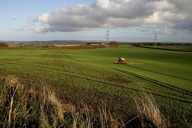
Image: © Walter Baxter Taken: 31 Oct 2009
A crop sprayer is working this large field on the northeast side of Duns. Viewed from the A6112 with Rulesmains Farm in the central distance.
Images are licensed for reuse under creativecommons.org/licenses/by-sa/2.0
Image Location
Latitude
55.78516
Longitude
-2.333227