Road to the Dunchideock church
Introduction
The photograph on this page of Road to the Dunchideock church by Rob Purvis as part of the Geograph project.
The Geograph project started in 2005 with the aim of publishing, organising and preserving representative images for every square kilometre of Great Britain, Ireland and the Isle of Man.

There are currently over 7.5m images from over 14,400 individuals and you can help contribute to the project by visiting https://www.geograph.org.uk
Road to the Dunchideock church
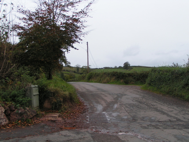
Image: © Rob Purvis Taken: 2 Nov 2009
This is almost a timeless picture (well, tarred roads anyway), but the plastic utilities box (gas possibly) gives the picture a date span, for those who know when such plastic boxes came into use.
Images are licensed for reuse under creativecommons.org/licenses/by-sa/2.0
Image Location
Latitude
50.67507
Longitude
-3.588142