Allotments and footpath
Introduction
The photograph on this page of Allotments and footpath by Michael Dibb as part of the Geograph project.
The Geograph project started in 2005 with the aim of publishing, organising and preserving representative images for every square kilometre of Great Britain, Ireland and the Isle of Man.

There are currently over 7.5m images from over 14,400 individuals and you can help contribute to the project by visiting https://www.geograph.org.uk
Allotments and footpath
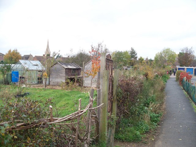
Image: © Michael Dibb Taken: 29 Oct 2009
The footpath running alongside these allotments in Moreton-in-Marsh is part of the Diamond Way. The spire of Moreton-in-Marsh's parish church, St David's is visible in the background.
Images are licensed for reuse under creativecommons.org/licenses/by-sa/2.0
Image Location
Latitude
51.986253
Longitude
-1.699401