Cyclepath beside the disused Canal
Introduction
The photograph on this page of Cyclepath beside the disused Canal by David Anstiss as part of the Geograph project.
The Geograph project started in 2005 with the aim of publishing, organising and preserving representative images for every square kilometre of Great Britain, Ireland and the Isle of Man.

There are currently over 7.5m images from over 14,400 individuals and you can help contribute to the project by visiting https://www.geograph.org.uk
Cyclepath beside the disused Canal
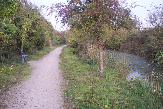
Image: © David Anstiss Taken: 30 Oct 2009
This is part on National Cycle Route 1 leading from Gravesend towards Higham. It follows the tow path of the (disused) Thames and Medway Canal. At this point the Canal (now a long pond) can be seen.
Images are licensed for reuse under creativecommons.org/licenses/by-sa/2.0
Image Location
Latitude
51.439052
Longitude
0.448158