Farmland, Bishops Cannings
Introduction
The photograph on this page of Farmland, Bishops Cannings by Andrew Smith as part of the Geograph project.
The Geograph project started in 2005 with the aim of publishing, organising and preserving representative images for every square kilometre of Great Britain, Ireland and the Isle of Man.

There are currently over 7.5m images from over 14,400 individuals and you can help contribute to the project by visiting https://www.geograph.org.uk
Farmland, Bishops Cannings
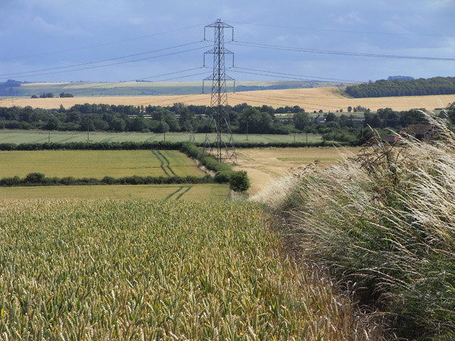
Image: © Andrew Smith Taken: 12 Jul 2009
Looking towards the scarp on the northern side of Salisbury Plain. The pylon stands between wheat and barley fields.
Images are licensed for reuse under creativecommons.org/licenses/by-sa/2.0
Image Location
Latitude
51.37019
Longitude
-1.952401